

Dimension 04
Mobility profile
We study how the area moves: road access, public transport, parking and real travel times.
Mobility
Knowing how well or poorly connected the area is for your daily life
-
Road access
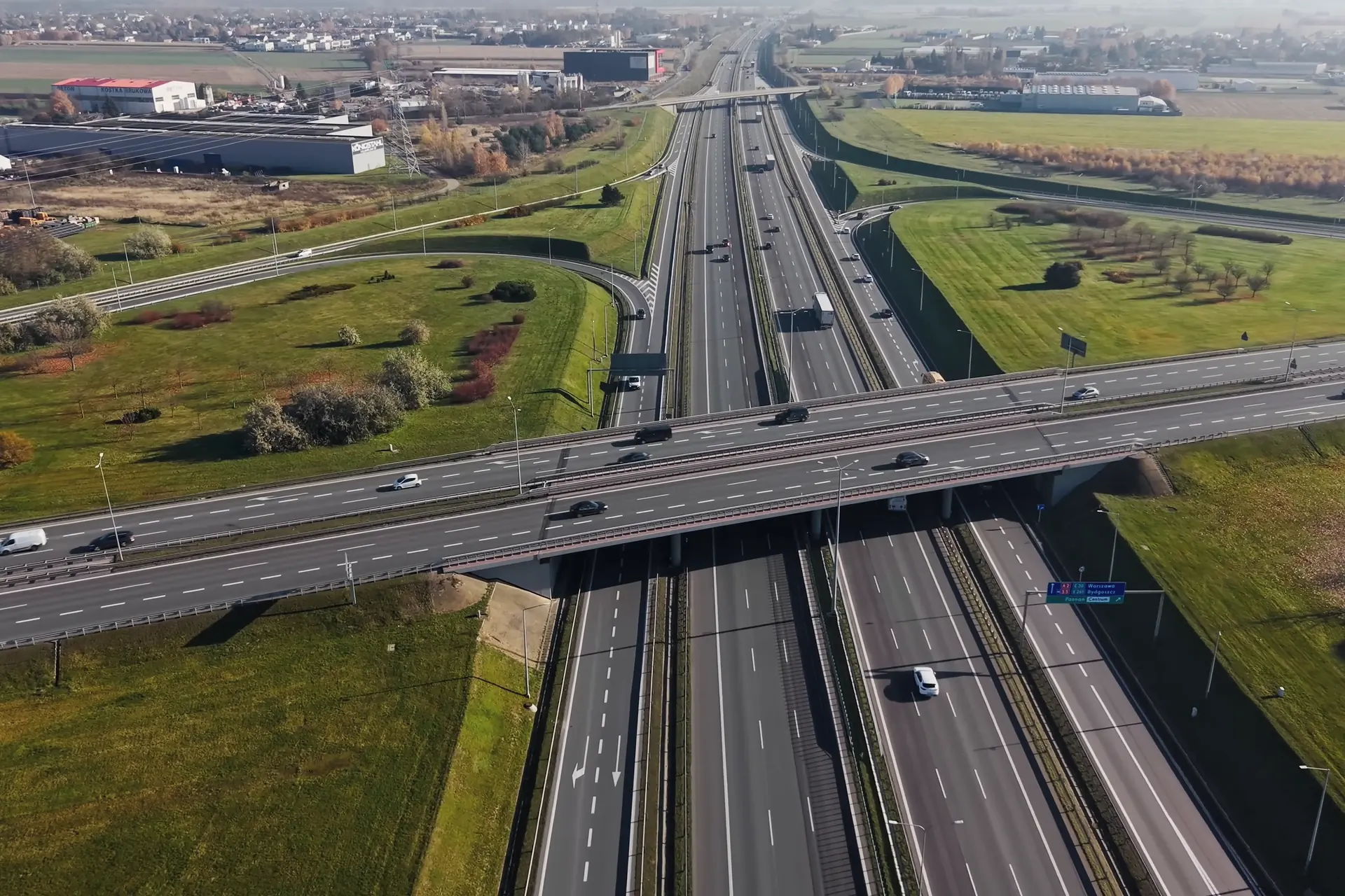
Motorways, dual carriageways and main roads connected to the area. Access times to the airport and nearby cities.
-
Public transport
Nearby bus stops, train, metro or tram stations, service frequencies, quality of service, etc.
-
Parking
Availability of public and private parking, average cost, ease of finding a spot and parking options in the surroundings, among other aspects.
-
Travel times
We measure how long it takes to reach the key points of the area: work, schools, hospitals, beach, etc.
How it appears in a real report
Mobility and transport
We have driven the route: Málaga airport is a long half-hour away by motorway, and daily life is resolved within the area itself.
Real data from the Elviria (east Marbella) trial dossier; the client is fictitious.
See it in a full sample report